Use this Google Map of the Water Trail to find 37 public launch/landing sites and to plan your paddle route. Where cell phone internet access is available, open this page on your phone or open the map in the Google Maps App using this link.
Route Planning and Route Finding Map
![]()
Trailhead with signage, parking and restrooms
![]() Campground
Campground
![]() Public launch/landing site
Public launch/landing site
![]() Landing site only
Landing site only
Use this Google Map of the Water Trail to plan your route. Where cell phone internet access is available, open this page on your phone or open the map in the Google Maps App.
For best results:
- Open the Google Maps App
- Tap the button below
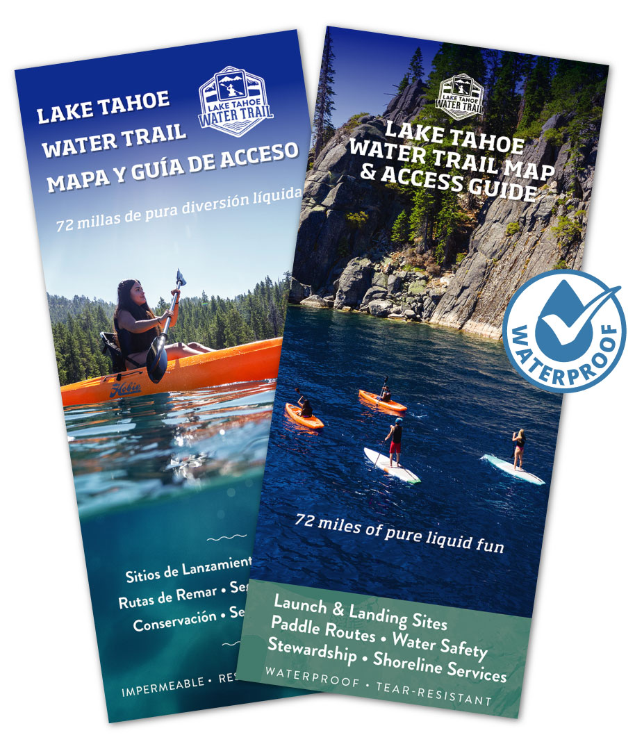
Always Bring a Day Trip Map or the Map & Access Guide
While this map can be a great tool for finding your way while on the Water Trail, it depends on internet access, and many areas of Lake Tahoe do not have cell reception or wifi. You should always carry one of our Day Trip maps. Go here to download the Water Trail Day Trip maps.
We’ve segmented the 72-mile water route into 7 Day Trip Maps for out-and-back paddles from one beach or point-to-point excursions that connect public beach sites. Each map includes a mapped route with mileage, launch/landing sites, trailheads with wayfinding signage, parking and restrooms, and public beach access to waterfront attractions.
Better yet, carry the waterproof Map & Access Guide!


