![]()
Water Trail Trailhead with parking and restrooms
As the largest freshwater lake in the Sierra Nevada straddling California and Nevada at 6,223 feet, mountain conditions and strong winds can be a challenge. The Lake Tahoe Water Trail is an endless 72-mile water route along the shoreline with public launch and landing sites, wayfinding signage, paddle routes to match your ability and interests, navigation tools, stewardship and water safety tips to help you have a safe and fun eco-paddle adventure.
Lake Tahoe is a big, high alpine lake. The water is always cold and weather conditions can change rapidly. Be sure to review safety information on this website before heading out.

Use the map below for finding trailheads and route planning with info on launch sites, campgrounds, parking, and restrooms.
We’ve divided the trail into 7 day trip segments for out-and-back or point-to-point paddles along a mapped route.
![]()
Water Trail Trailhead with parking and restrooms
![]() Campground
Campground
![]() Public launch/landing site
Public launch/landing site
![]() Landing site only
Landing site only
View Map in Google Maps

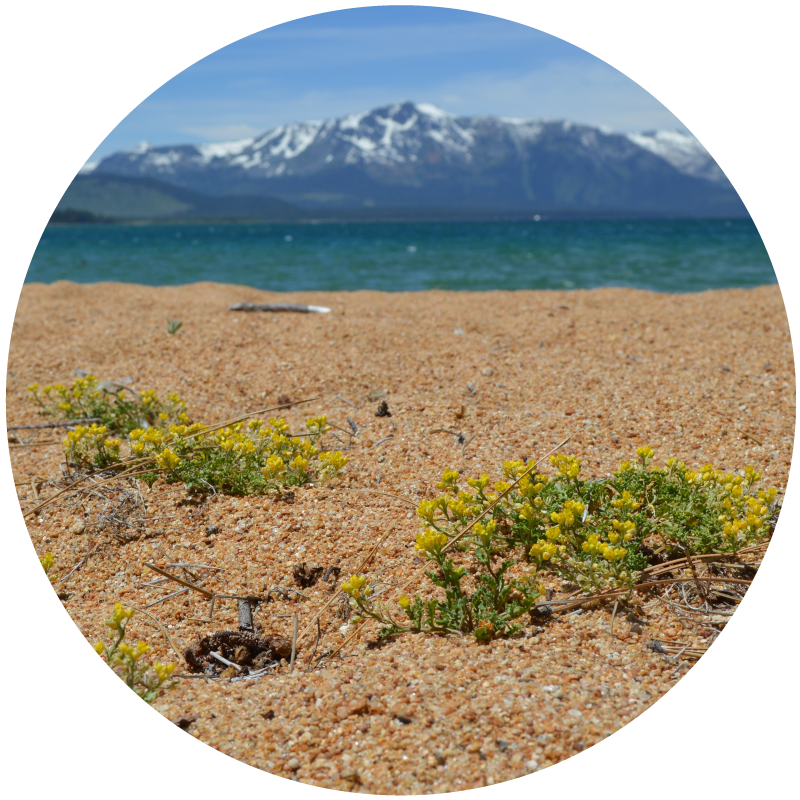
Tahoe yellow cress (TYC) is a small native plant that grows on the shoreline of Lake Tahoe and no where else in the world.

While many shoreline areas around Lake Tahoe are public, many areas are private property. Please respect private property.

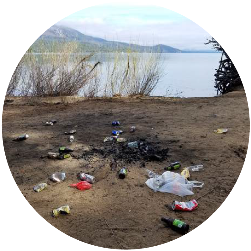
Pack it in, pack it out. Camp only in designated campgrounds. Fires are allowed only in designated areas of campgrounds. Be familiar with Water Trail stewardship guidelines.

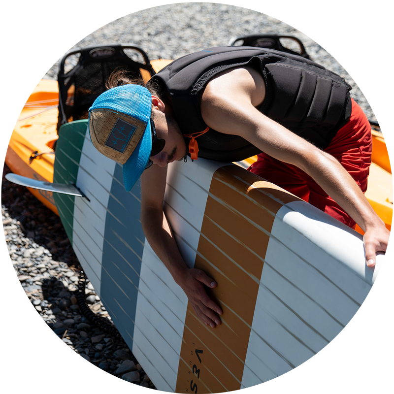
Stop aquatic invasive species. Clean, drain, and dry your paddle gear. It’s the law. Find self-decontamination procedures and inspection sites.
Use this 60-second life-saving tool! Complete a quick form that emails your itinerary to a friend.
Sierra Business Council and the Lake Tahoe Water Trail Committee and their contributors will be in no way responsible for personal injury or damage to personal property arising in conjunction with the use of this website or printed materials. Good judgment and planning are critical to any successful outing. Before heading out on the water, it is recommended that you check with other sources of information for the latest lake conditions.