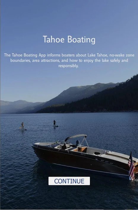
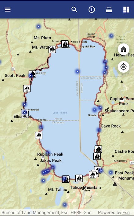
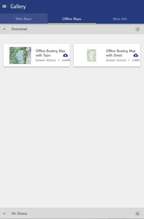
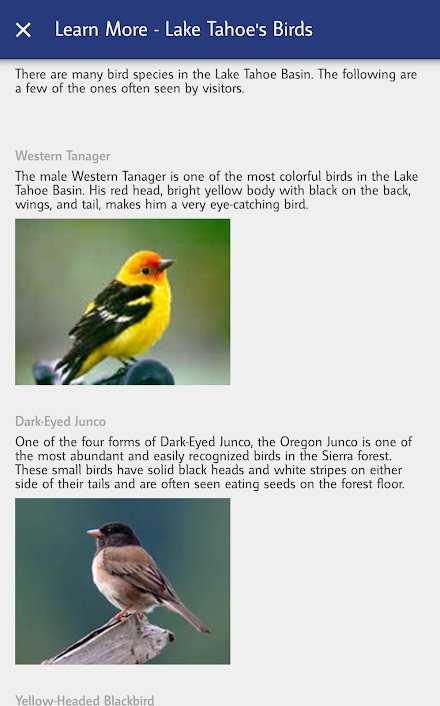
The Tahoe Boating App is designed to inform boaters and Tahoe Keeper paddlers about Lake Tahoe, no-wake zone boundaries, area attractions, and responsible recreation. The free app includes interactive mapping, giving boaters real-time location and direction of travel on the lake. Location information allows boaters to see their position in proximity to Lake Tahoe’s no-wake zones which requires boaters to stay under 5 mph within Emerald Bay, 600 feet of shore, 100 feet of swimmers and paddlers, and 200 feet of structures. Click HERE to view a map of all of the Boating App data. Download App HERE.
FEATURES:
- An interactive map that shows a boat’s location relative to no-wake zones.
- Information about boating safety, aquatic invasive species, and emergency contacts.
- Lake Tahoe Water Trail public launch and landing sites.
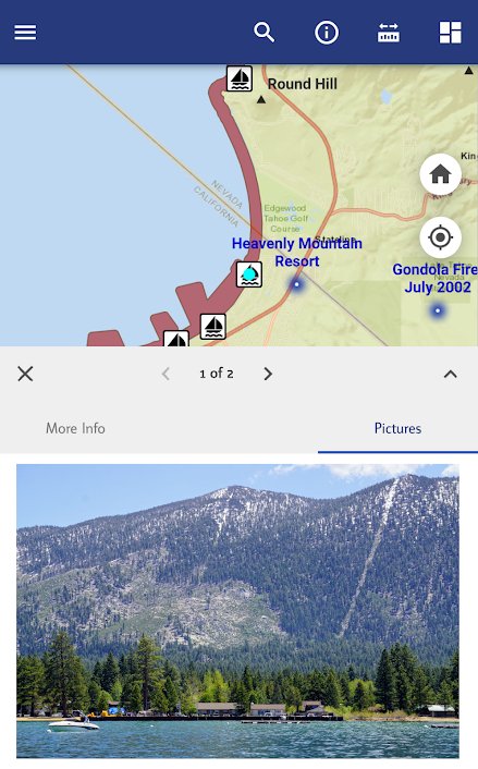
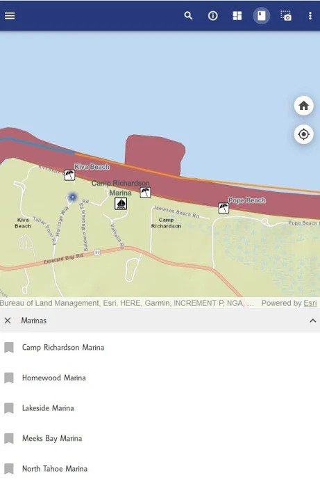
- Navigate to points of interest around Lake Tahoe: Boat ramps, marinas, fueling locations, historic places, beaches and public bathrooms.
- Photos and full description of each point of interest.
- Uncover the history beneath the Lake. Float above a shallow shelf next to where the glacier carved down 1,000+ feet, go find a sunken ship, or navigate to the deepest point, 1,636 feet below!
- FREE – No in-app purchases!
ADDITIONAL INFO:
The Tahoe Boating app is brought to you by the Tahoe Regional Planning Agency (TRPA). The mission of the TRPA is to restore and protect the extraordinary natural environment of the Lake Tahoe Basin while improving local communities. This application is meant to enhance the experience of boating and paddling on Lake Tahoe.


