A little over half of the entire shoreline is owned by private individuals, homeowner associations, businesses, and lodging properties who also enjoy the lake and take good care of it.
To help you avoid private property, we’ve clearly marked the 37 public launch/landing sites on the Lake Tahoe Water Trail Overview Map and the 7 day trip maps.
The 7 Day Trip Maps include designated launch/landing sites, trailheads, and a paddle route with mileage, campgrounds and facilities.
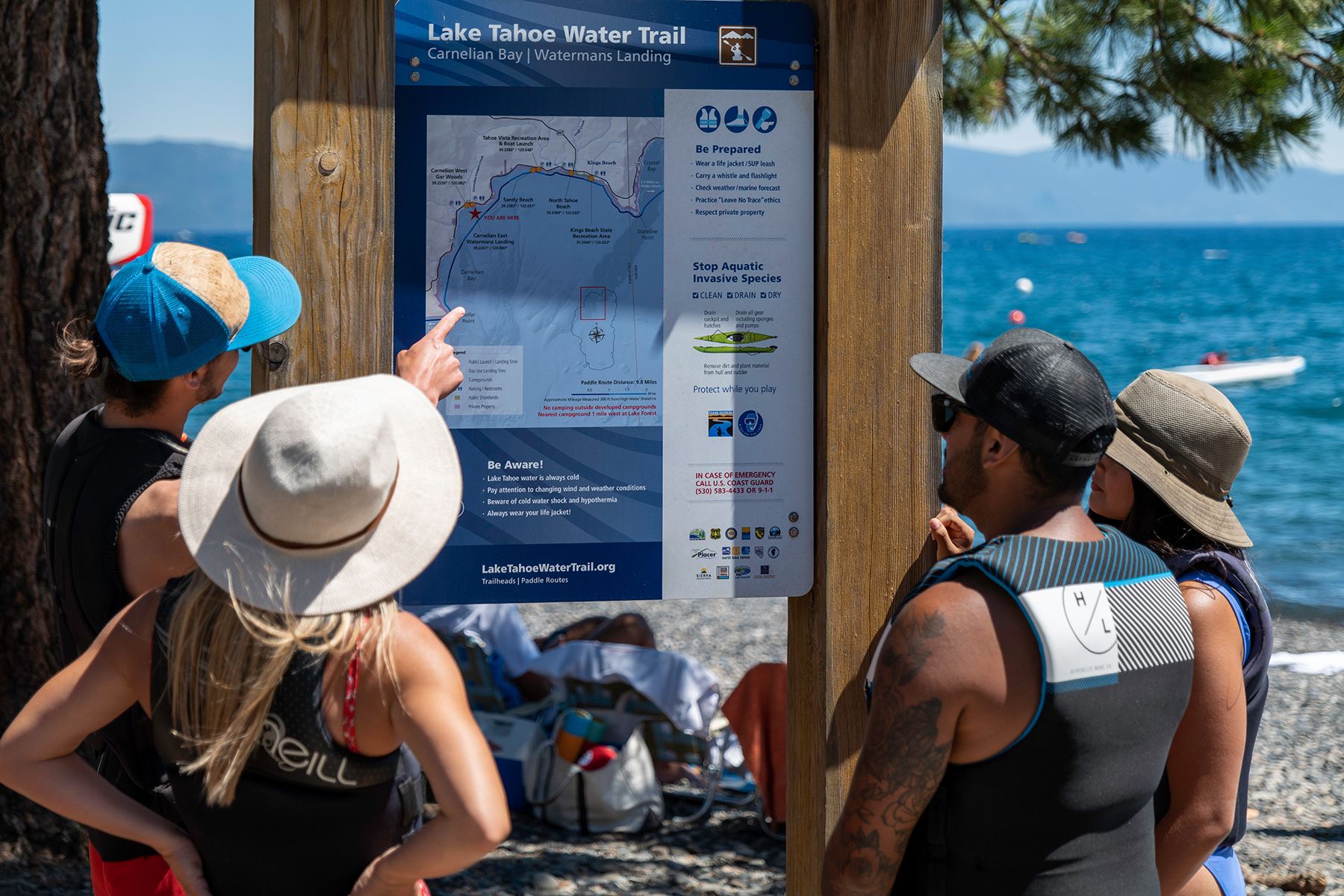 Our 20 Trailhead launch/landing sites on our Maps page have wayfinding signage with mapped paddle routes, campground, parking and restrooms.
In shoreline areas with private residences, property owners own the land down to the “low water line”. The low water line is the water elevation at the natural rim of Lake Tahoe. A dam at the Truckee River raises the water an extra six feet, however, creating a “high water line” during periods when the Lake Tahoe reservoir is full. Please remember that the land is actually owned by the adjacent landowner and be respectful of their privacy. Practice Leave No Trace principles and show courtesy and respect to other users in the area.


