
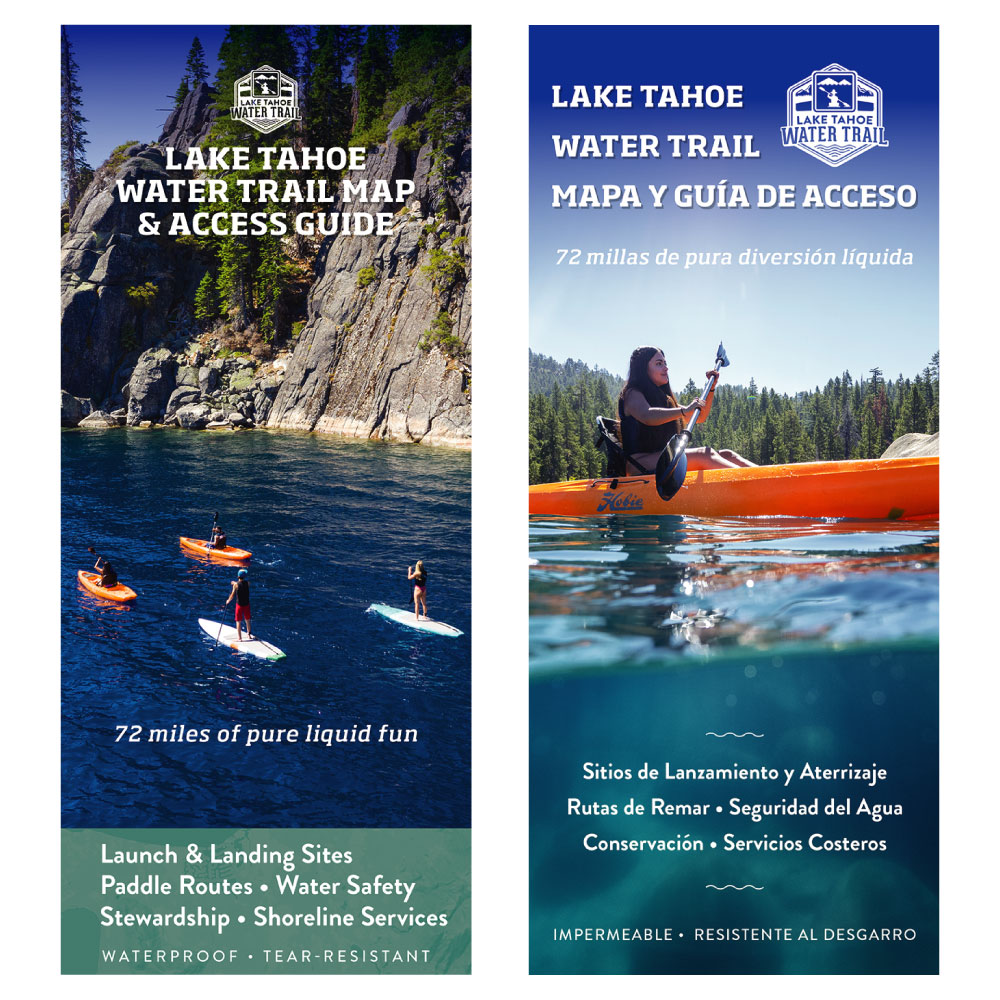
Description
Perfect for navigating Lake Tahoe, plan your next eco-paddle adventure with the Lake Tahoe Water Trail Map & Access Guide. This waterproof and tear-resistant 24” x 36” folded map includes public launch and landing sites with signage, restrooms and parking, mapped paddle routes, water safety, boating regulations, campgrounds, wind and weather conditions, and conservation tips.
Features include:
- GPS coordinates
- Latitude/Longitude grids
- Launch and Landing Sites
- Mapped Paddle Routes for Day Tripping
- Underwater and Land Topography
- Water Safety
- Wind & Weather Patterns
- Campgrounds
- Conservation and aquatic invasive species prevention
Map sales support non-profit Sierra Business Council to develop public lake access, water safety, and stewardship education materials.
 To learn how Sierra Business Council protects the Sierra Nevada environment, sustainable recreation and small businesses, sign up for our monthly newsletter here.