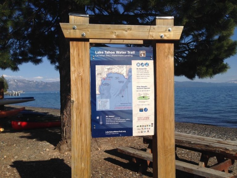
To help you safely navigate the water trail, we’re installing wayfinding signage at 20 public beaches with restrooms, parking and facilities indicated in the map below.
The new trailhead signage includes a mapped paddle route with GPS coordinates, vital water safety and weather information, aquatic invasive species prevention and resource conservation tips, campgrounds and public launch and landing sites.
So far, signage has been installed at the 10 beaches listed below. The remaining 10 signs will be installed in fall 2018.
- Commons Beach, Tahoe City
- Lake Forest Boat Ramp & Campground
- Watermans Landing, Carnelian Bay
- Tahoe Vista Recreation Area & Boat Launch
- North Tahoe Beach
- Kings Beach State Recreation Area
- Sand Harbor Nevada State Park
- Cave Rock Nevada State Park
- El Dorado Beach/Lakeview Commons, South Lake Tahoe
- Regan Beach, South Lake Tahoe


